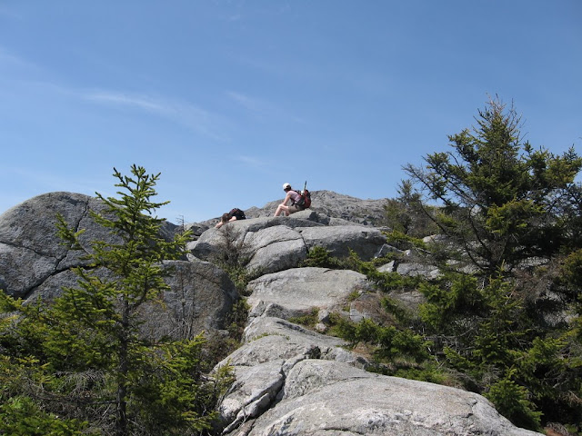
Mt Monadnock - 3,165'
~5 miles, 1900' elevation gain, 4.5 hrs
Mark, Nat, Jamie
This was the 4th time up Monadnock in the last 2 years and it is still my favorite hike outside of the White Mountains or Acadia. First couple of times were plagued by the constant crowds that are unavoidable on the White Dot / White Cross trail combination that almost everyone seems to take. Since this is "the most hiked mountain in the world" that adds up to a steady stream. Last fall we tried a new route up - the Spellman trail via the Cascade link and it was like having the mountain to ourselves (until the summit which was still packed and the White Cross which we still took down). This time we opted for a less traveled route in both directions and it paid off. The day was a perfect weather day and Memorial Day to boot so we planned on maximum crowds. Maybe it was the gas prices but the lots weren't overflowing like expected. We took the same route up - White Dot, Cascade Link, Spellman, Pummely. We really love this route. The Cascade Link is a nice moderate grade through beautiful evergreen and hardwood forrest following a stream about 1/2 the way.
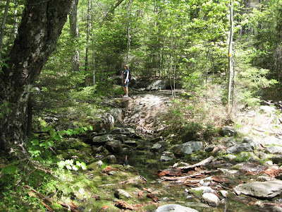
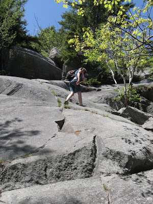
The Spellman trail bears off the Cascade Link and the steep climb begins. This is rated as the toughest trail on Mondanock and has warnings about the exposure. The steepness claims are true but even with my extreme acrophobia I don't have any problems. I wouldn't want to take it down though. We met a couple of guys that were going down and didn't know anything about the trail. They were clearly a bit shaken and said that they couldn't believe that the this was actually a trail when they got to the "brink of the cliff at the top" as they described it. Probably an extreme description...
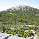
We met only 3 groups the whole way up till just before the summit. The day was pretty warm but by the time we hit the Pummely the wind was blowing at probably close to 50mph and there was no problem staying cool. The walk up the Pummely ridge to the summit reminds me of my favorite routes in Acadia (except no ocean in the background).
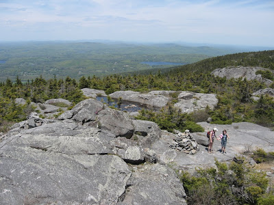
A bit of a surprise that we found so few people at the top. Didn't hang around anyway - swung over the top and found a nice nook on the beginning of the White Arrow for a break. The wind was really blowing on this side and we got tossed around quite a bit. The new route that we picked to go down was rated as one of the least used and it turned out to meet that standard - we only passed a single group the whole way down and didn't even hear anyone else. Like having the place to ourselves. We started down the White Arrow and then took the Amphitheter, Side Foot, Cliff Walk and Lost Farm trails. This route loops over Bald Rock which is a minor summit below Monadnock.

It was a beautiful way down with the upper portion alternating between open ridges and wooded rocky sections. After hitting the Cliff Walk most of the remainder is in the woods with views between the trees. The Lost Farm is a particularly beautiful section with easy grades and lots of beautiful plants and wildflowers.

As much as I love the open ledges on Monadnock this was one of the nicest parts of the hike. There are many other options for the way down with minor trails branching off of the White Arrow (descriptions here). We'll be trying the others on our next visits...
Complete photo album is here:
 |
| Monadnock 5-26-08 |


