
We had hoped to do it Tuesday, but after the increasingly hot weather and violent thunderstorms on Monday night we were looking at the weather as a key factor. The forecast for Tuesday was hot and muggy (mid 80s) again with a significant chance of thunderstorms. On the other hand, Wednesday was supposed to be high of 71 and sunny - absolutely perfect. Problem was, Wednesday was when we were going home. We checked with the campground and the site was available for an extra night. This was just too good an opportunity to pass up. We're staying!
After four straight days of hiking we weren't too disappointed to have a down day to rest our legs before the long Isolation trek. We decided that a drive through Grafton Notch, a nice lunch out and a little exploring would be perfect. Tuesday was hot and muggy as predicted, but the storms held off during the day and we had a nice low key adventure. We drove up Rt 16 to Lake Umbagog and then Rt 26 down through Grafton Notch. We stopped in Bethel for lunch and then looped back across Rt 2 to Gorham. This was a really nice drive with some interesting stops along the way. The first was LL Cote (LL who?) in Errol. Quite the place! In Grafton Notch we stopped at the main roadside attractions - Moose Cave, Mother Walker Falls and Screw Auger Falls. From there is was a stop at the pie stand for the biggest whoopie pie I've ever seen (we somehow had the resolve to pass on the strawberry rhubarb pies) and then on to Bethel. Here's a couple of shots along the way. The whole album is here if you're interested: ALBUM

Pontook Reservoir

Pontook Reservoir over Northern Meadowsweet

LL who?

Found this family hanging out by the road

Nat checks out the Moose Cave

No moose in here...

Upper Screw Auger Falls

Lower Screw Auger Falls

This thing must weigh 2 pounds!
On to Isolation...
On Tuesday night we got another round of thunderstorms. I was now starting to think about what the water crossings on the Isolation Trail might be like now. We'd heard plenty of stories about these crossings (including the one in Trish's "UP", which was really scary). There were equally horrific stories about the Rocky Branch and Isolation trails with their propensity for flooding and ankle deep mud. I sent a message to Ryan at the Mt Washington Observatory and asked for his opinion. He said that the summit had gotten almost 3 inches of rain in the last two nights, but there hadn't been any flood warnings and that we really should be fine. Thanks for the advice Ryan - it's nice to have friends in high places ;-) This made me feel much better, but the thoughts of a long, wet slog and difficult crossings still were in my mind.
The other thing that I wasn't sure of was my willingness to do the Rocky Branch route in general. Seems everyone hates this trail. Originally I had figured that we'd go up and back Glen Boulder which would both avoid the water crossings and eliminate the dreaded Rocky Branch and Isolation trails. I really wasn't sure my knees were up to a long, steep downhill at the end of a 12+ mile day and decided that the Rocky Branch route was the better option. We kept our fingers crossed...
We got an early start with a stop at McDonald's in Gorham for coffee and oatmeal (both of which are surprisingly good there). On the way down Rt 16 before the auto road we were treated to a bear foraging in the field by the side of the road.


We stopped for a few minutes and then headed to the trailhead. We made a quick stop at Pinkham on the way and got the first real view of what the day was going to be like. Gorgeous! All the humidity was gone and the air felt like a mid-September day (and the skies were that brilliant fall shade of blue).

We got to the trailhead and were the only car in the parking lot. By 7:30 we were geared up and on our way. I was prepared for the Rocky Branch Trail to be awful. It had to be steep, rocky, eroded, muddy and who knows what else. Over the first two miles the footing was good, the grades were easy and it was just a nice walk in the woods on a beautiful morning. I was worried - something really bad had to be coming.

Here we go... the dreaded Rocky Branch

Now THAT'S a blowdown!

Turtlehead


New England Aster

At about the 2 mile mark the trail gets flat and follows the contours on Engine Hill. This was more nice walking through grasses, ferns and wildflowers in a really pretty section of woods. There were many wet sections of trail, but they were all lined with stepping stones that were very easy walking.

Rocky Branch

Beautiful morning

Easy rock hop walking

Great hydration! A Pina Colada for the trail
We kept waiting for the terrible section of Rocky Branch to appear, but it never did. We were now at the first big crossing at the junction with the Isolation Trail. What horrors awaited us now?!

First big crossing

Heading for Davis Path
The water level was fine and we were easily able to rock hop the crossing. Now we were on the Isolation trail. There must be bad things ahead. At minimum, we know there are four more crossings. The beginning section follows the brook and is really a beautiful walk. So far, so good.

Beautiful walk along the brook

Cairn on the other bank at the next crossing

OK, where to from here?

Got it


Hanging cairn?
We followed the brook and made the other crossings without any more problem than the first one. This is just a lovely stretch of trail (at least on a day like this).


Beautiful trail!

How are you going to hate this?

Next crossing (3 more to go)


#3

After the crossings we entered what was probably the most beautiful section of the day. I believe I saw this described as "fairy woods" in someone else's report. I can see why. Mosses, ferns, streams and everything that a woodland sprite would need to be happy.

Entering the "enchanted forest"

So green!

Ghost flowers?

Near the top of the Isolation Trail there are a number of official off-trail tent sites. The WMG still describes this as a difficult to follow section of the trail due to all the branches, but most of the tent sites have signs on the main trail and we had no trouble navigating at all.

One of the official tent sites. We're going to have to stay here someday!
Shortly after the tent sites we hit the junction of Davis Path. I was confused. Where had all the terrible sections of Rocky Branch and Isolation trails been? At least a half dozen times along the way Nat and I had commented to each other what a beautiful walk this was. We both agreed that even if there hadn't been a summit with a view at the end that this would have been one of the nicest hikes ever. But oh, were there ever views waiting...

Final stretch

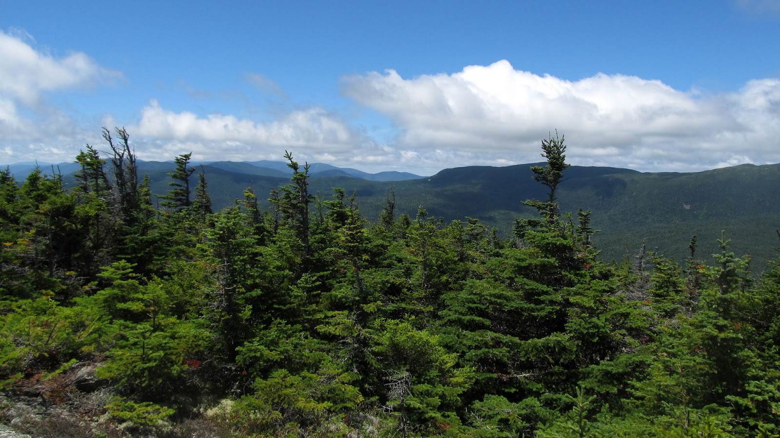
And the views begin!

Looks like we're here!
The walk across Davis Path went quickly and we enjoyed the emerging views in a couple of fir waves along the way. When we got to the Isolation spur junction we found a man who we had been leapfrogging back and forth with on the last half of the trail standing there with a map, scratching his head. Based on the sign (lower on the tree) he figured we had gone too far. I was puzzled too since the GPS seemed to indicate we were in the right place. Nat finally was the one to look up and see the sign. It's fairly high up on the tree and none of us had seen it. Duh. We headed up the short scramble to the summit and were greeted with our ultimate reward. The views up here are just incredible!

Cloud cap on the southern Presis and Mt Washington

Final steps to the summit

Eisenhower peeks out
We pulled on our extra layers, as it was really windy and pretty chilly up here (a real contrast from the last couple of days). We hung out with the guy we'd been hiking with for a while and found out that this was his 37th 4000 footer (and he was planning Owl's Head next). We never got his name, but wish him the best of luck in his finish.

Nat and I on Isolation (almost) for #43


Clearing over Boott Spur
After a quick break we went up to tag the real summit and make it official. This was definitely one of the nicest hikes ever!

Now it's official!

On the summit


Wildcats


Baldfaces in the distance

We hung out and ate our lunch. I was in no hurry to go anywhere and was hoping that we were going to get a view of Mt Washington if that cloud cap would just move. It never did. Oh well, guess we'll have to come back for that view another day.

Mt Washington refuses to emerge

Nat bundled up for lunch
We finally gave in and decided to head down. After the wonderful walk up we were really looking forward to the return trip. We weren't disappointed. We thoroughly enjoyed the first five miles. The last two, as our legs started to feel tired, we basically put it on cruise control and got to the bottom. The pictures can tell the story from here...

Time to head down :(


Last look...


Fir wave


Back into the enchanted forest


Indian pipes

Still happy to be here

Back across

Orange hawkweed

Time for a reward

Mmmmm


Final stretch


Last photo. All downhill after this...
We were back at the car at 5:30 - just about 10 hours total. There was nothing that the trip down had done to change our opinions of this day. Among a long string of really wonderful hikes over the years, this was absolutely one of the best! This will definitely be one that we'll do again (and certainly at least once in winter). We ended the day in Gorham, sitting on the deck overlooking the river at Mr Pizza and refueling on large portions of delicious pasta. We knew that the week was over and that we'd be going home tomorrow, but we couldn't have ended it on a better note. A bit of Isolation is most certainly not a bad thing!
That night I got out the Kindle and read the Isolation chapter in "UP" again. It sounded as horrific as I'd remembered. Hard to believe that this was the same hike. The only part that I regret is that we didn't meet the grouse...
If for some reason you haven't read "UP" yet, GET IT! http://amzn.to/Mkyqdw
The map and some Google Earth aerials...

Trail Map

From the south

From the east

From the north

From the northwest