
We started at the parking area at the end of Long Pond on Canonchet Rd instead of our usual start near Ashville Pond on Stubtown Rd (the eastern end of the Narragansett Trail). We figured we didn't need the extra few miles and it turned out to be a good choice. As we were starting out we met a Meetup group that had started at Stubtown Rd and was heading the same direction as us. We got ahead of them and kept a quick pace to stay ahead of them. We had planned to stop at our favorite spot - the ledges above Long Pond - on the way out, but decided to wait until the way back since we figured they'd be stopping there as well.

Starting out from the end of Long Pond

Kim heading around Long Pond

Rhododendron lined trail

Green tunnel
We flew through the first section and soon were crossing North Rd and heading for Yawgoog Pond. The trails at the beginning on this side were really pretty - a sign of things to come for the rest of the day. We followed the trails along the shore of the pond and enjoyed the views of the islands and the walking on the ledges at the water's edge. Such a beautiful place!

Cooning Orchard (not really an orchard)

Yawgoog Pond inlet

Yawgoog Pond and some of the many islands

Beautiful shoreline

Nat and Kim enjoying the ledges around the pond

Bog bridges
We quickly came to the marker for the RI/CT border. The trail from here follows the border north past the Dinosaur Caves until the Narragansett blue trail splits west into CT and the yellow trail goes east into RI. We were at the Dinosaur Caves less than 2 hours from the time we started. I guess we were motivated...

CT/RI boundary marker


Walking the border


I liked these blazes...

At the entrance to Upper Dinosaur Cave

Nat getting ready to go in

Kim squeezing in

Not a very big entrance

Wooden platform/step below the entrance

Nat in the cave

Figuring out how to climb out

Uh...

Kim climbing out
After the girls finished their cave exploring we all took a long break and soaked in the sun on the rocks. I got bored though (what a shock) and climbed down to the bottom of the area below the caves. The Lower Dinosaur Cave is down here (no squeezing in for this one) and there are lots of other cool spots to explore. Nat and Kim joined me and we hung out down there and then they had some more fun scrambling back up the boulders and squeezing through more seemingly smaller-than-a-person holes on the way up.

Enjoying the sunny rock above the cave
Frog pond

Nat heading down to the lower caves

Kim in Lower Dinosaur Cave

Ferns on the rocks in the lower cave

Looks comfortable

Kim squeezing through an opening outside the caves

I think she enjoys this :)
Our original plan had been to head back the way we came, but after checking the map it looked like we could continue north for a ways and then loop back on the Yawgoog Blue Trail and then around Hidden Lake and around the east side of Yawgoog Pond to make a big loop. We'd seen a sign for Hidden Lake on the way in and figured that this would be a good place to check out. We were definitely right...

First glimpse of Hidden Lake

Hidden Lake - what a beautiful spot!

Nat and Kim on the ledges at Hidden Lake

Clouds reflected in the glass


Blazes on the old pump at the end of the lake
Hidden Lake may be the prettiest spot that any of us has found anywhere in Rhode Island. Hard to imagine that this is in the middle of a Boy Scout reservation. I sure hope they appreciate what a gem they have here.
We continued on to the north shore of Yawgoog Pond and around the eastern side to Camp Yawgoog. The shore of the pond on this side is beautiful and in particular the section that goes out to the point along Pickerel Cove. Soon you wind up in the main part of the camp, and on future trips we'd go back along the western shore of the pond to avoid it. It's a pretty amazing place for a scout camp (1800 acres with huge lodges, dining halls, tent platforms (probably 100 or more), waterfront buildings, cabins and all forms of modern conveniences) and while it might be great for the scouts it isn't necessary in the middle of an otherwise beautiful hike.

North shore of Yawgoog Pond

More islands in Yawgoog Pond

Pretty cove

Stream between Yawgoog Pond and Wincheck Pond
We finished the loop and got back to North Rd and now started looking forward to our favorite spot on the ledges at Long Pond. We were hoping to have them to ourselves and our timing was perfect. There were two other groups that we met who had just come down from the ledges and now they were all ours. It was close to 5pm by this time and the late afternoon light over the pond was beautiful. We hung out for a long time and then scrambled down to a spot near the water's edge that would be the perfect campsite (if only it were allowed) before finally heading back.

Back through the tunnel

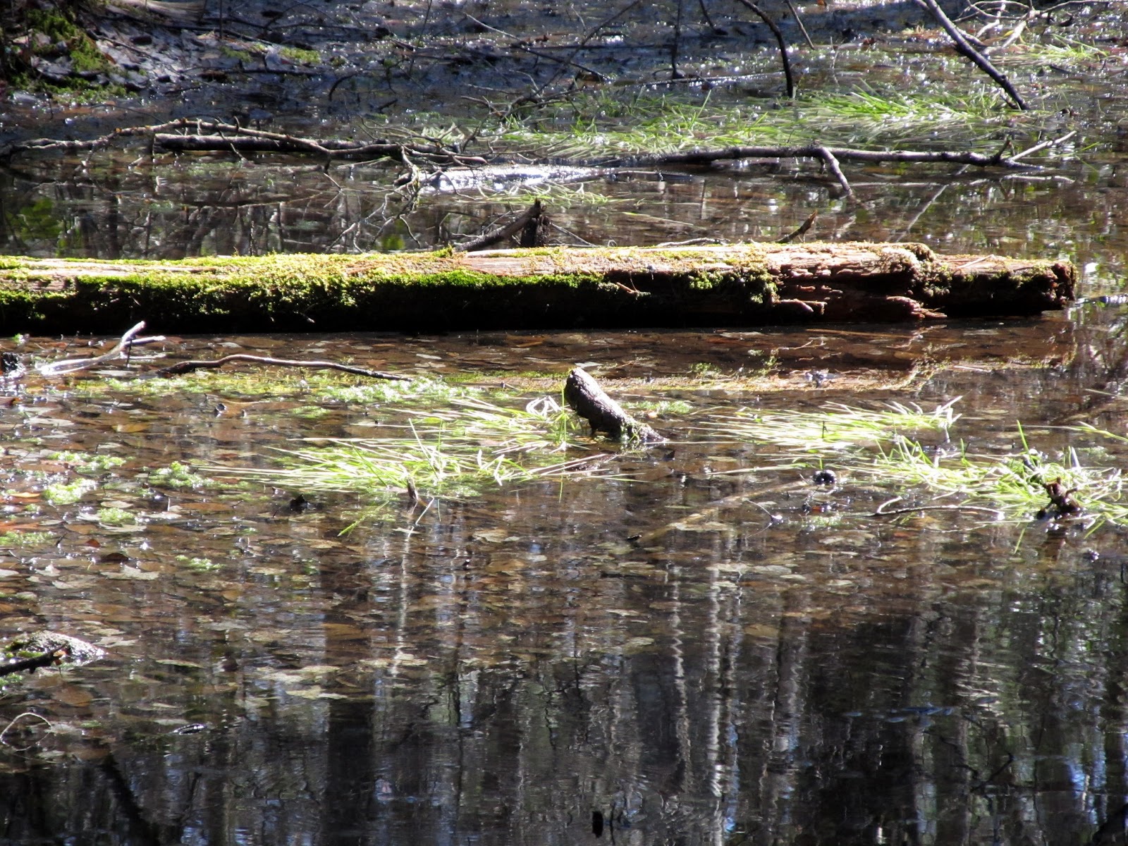
Rhody swamp near Long Pond entrance on North Rd

Pines clinging to the ledges on Long Pond


Nat heading down the ledges to the shore

This would make a nice campsite

Another sentinel on the ledges
It was getting late and we were all tired and hungry. The section of trail along Long Pond is probably the toughest in RI. It always feels more like being in the mountains with all of its rocky ups and downs than being in what is otherwise a really flat state. With almost 10 miles down, that last mile felt really long. I still love this section every time I do it though.

Going back up the steep way!

This seems a lot steeper than it did 10 miles ago...
The hike wound up being about 10.6 miles - longer than we planned, but definitely worth it. All in all this was a fantastic day. We all agreed that it was probably the nicest hike that we'd done in RI and one that we'll do again. We'll skip the scout camp next time and spend more time around Hidden Lake for sure. Now if only there was a way to get kayaks out here...
As I noted in last week's post on the Narragansett Trail, there is a great set of maps and trail descriptions for the Yawgoog and other trails in the area here: http://www.mdc.net/~dbrier/yawgoog/trails/contents.html
Here's the interactive GPS track: http://www.gpsies.com/map.do?fileId=yugkoifhicmqqevr

