
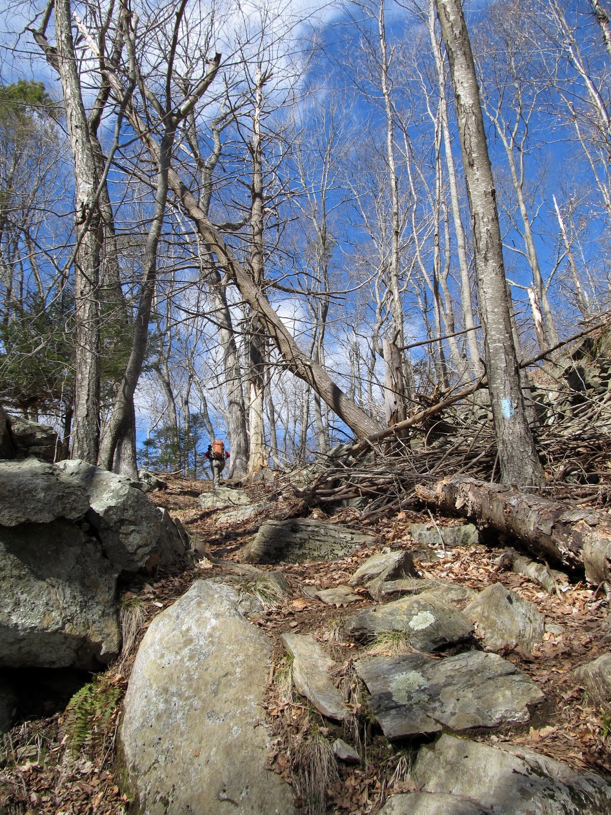
We met Kim on Saturday morning in North Stonington and headed over to the boat launch on Wyassup Lake to spot the car. From there it's about a 15-20 minute drive to the trailhead off Rt 2 near Foxwoods. There were already a bunch of cars there when we got there and we saw a few people on our way up Lantern Hill, but that was basically it for the rest of the day. Lantern Hill is a pretty steep little climb (about 350' of gain) and a nice way to get the legs warmed up. The views from the top to Foxwoods are quite pretty (assuming that you don't mind seeing something like this sticking up in the middle of the woods) as are the views down to Lantern Hill Pond.

Starting out at Lantern Hill

Pretty good climb up this little hill

Foxwoods and the Mashantucket Museum from Lantern Hill

Lantern Hill Pond

Heading to the top of Lantern Hill
As we crossed the ledges at the top of Lantern Hill we saw a bunch of turkey vultures floating overhead. As we got to the craggy ledges past the summit we found a couple of juvenile vultures sitting on the rocks about 30 feet away. They weren't at all bothered by our presence and while we watched them an adult (mom perhaps?) and a couple of others joined the party. Very cool!

Windmills and towers

Juvenile Turkey Vulture

This must be mom...

Another one joins the group

The juveniles are sort of cute
The trail back down the other side of Lantern Hill is also steep and there are some nice ledge scrambles on both sides. Nice way so begin the day...

Cool blazes!

Fun path

After Lantern Hill the trail winds through the woods for a while before coming to the first of several encounters with civilization. This one is probably the most unpleasant (and certainly the most strange). The trail description says that here it "goes between the transfer station and the dog pound". That's 100% true. We also began to get a taste for some of the very creative blazing that is done on a trail that goes through areas like this...

I think we found the transfer station...

... and the dog pound

Poor unhappy guys. :( So handsome too

Find the blaze. (Hint - it's in the middle)

More interesting blaze locations

Glad this is Saturday
After this section the trail goes back into the woods before coming out again to cross Rt 2 near Gallup Pond. This is actually not a bad road stretch and comes right before entering the Gladys Foster Nature Preserve which is a rather pretty area (even though you never completely escape the road noise and have a steady view of houses below the ridge).

Mountain Laurel lined trails

Bridge over the end of Gallup Pond

Gallup Pond

Hmmmm...

Pretty sturdy for a foot bridge

Guess we're on the right trail

More interesting blazes


Bet this is really pretty in the fall

Nat and Kim on one of the lookout points
After traversing the higher ridge in the preserve the trail drops back down and follows Yawbucs Brook and then passes by a series of large beaver ponds. The little guys have been very busy down here in recent years from the looks of it. There are multiple ponds, dams and lodges (and signs of plenty of new work as well). Looks like mom and dad must have thrown the kids out of the house and they've now moved back in next door. This section was one of the nicest parts of the hike.

We found winter!

Pretty walking down here

Yawbucs Brook

Following the beaver ponds

BIG beaver pond. Lodge at the left

Busy as a...

Dam!

Must be tasty
The final section before Wyassup Lake wound up and down over a couple of hills that were another nice little stretch. When we got to Wyassup Lake (the trail comes out by the boat launch parking area where we spotted the car) we decided to do the loop around the lake for another few miles. It begins by climbing steeply up to ledges overlooking the lake and then drops back down to the lake shore on the eastern side. The last mile or so are along the roads that run along the lake shore. Not sure that we really needed more road walking to end the hike, but the lake really is pretty and it wasn't so bad.

Heading up to the cliffs above Wyassup Lake
Last stretch to the top

Wyassup Lake from the top of the cliffs

Don't want to fall in here!

Walking around Wyassup Lake

Back to our car spot and the boat launch
The total hike was 10 miles. There were some really nice sections and a few that were definitely not so nice. We were glad that we had finally gotten here after talking about it for a long time, but we all agreed that we didn't feel like we'd need to do it again. Now we'll have to try the rest of the eastern half so see how the rest of that is. We certainly like the part we've already done.
There is a great set of maps and trail descriptions for the Narragansett Trail and many of the other trails in the area here: http://www.mdc.net/~dbrier/yawgoog/trails/narragansett.html
We've used these for our explorations around Long and Ell Ponds, Arcadia and Green Falls and they've been extremely helpful.
Here's the GPS track of our hike: http://www.gpsies.com/map.do?fileId=lpzdkpzpautarmah


No comments:
Post a Comment