
We arrived on Sunday in the clearing afternoon after a rainstorm that had followed us to Bangor on our drive up. The forecast for the next couple of days looked good, with Tuesday being the best and therefore planned for Katahdin. For Monday we needed a nice warm-up hike. Foster Field is a great location and there are numerous trailheads within minutes. After a bit of debate we chose Mt O-J-I. The trailhead is located about 100 yards from the campsite and it appeared to be a moderate hike. Several others were doing a longer version starting with O-J-I and then continuing over Mt Coe and various combinations of the Brothers and Fort. O-J-I alone was just fine for our needs.
After a huge breakfast (which proved to be a pattern for the week) we got a late-ish start since there was a whole day to kill and nowhere else to go. We headed over to the trailhead and started across the boggy section that begins the hike.

Misty morning

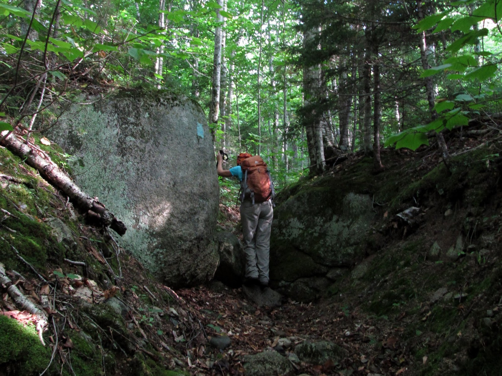
Lots of slippery bog bridges
We negotiated the very slippery bog bridges without incident. Soon we began the climb and scramble over the increasingly steep boulder and rock lined trail.
Going up...

Now the fun begins
Mt O-J-I is named for the cliffs and slides that scar its side. Many years ago the slides spelled out the O-J-I that make up it's name. The shapes have changed over the years, but the letters can still be made out. From close up, they spell something different...

Bottom of the slide

First views - beautiful day!

Sliding up


Reaching the slip-n-slide

Doubletop peeks out

The rest of the route up to the summit is a lot like the trail above the slide on Owl's Head - steep dirt, rooty, rocky and in the woods. Nothing too hard, just a slog up. Once out of the woods you emerge into waist high scrub that continues to the top. There are a few spots where you have to step across rocky openings and just plain gaps in the trail that aren't obvious unless you're watching your feet. The scenery is pretty spectacular here so that isn't always so easy.

Almost there

Mt Katahdin beyond Barren Mountain and The Owl

Mt Coe
When we got to the rocky knob that we thought was the summit we met Mike and Steve who were one of the groups ahead of us. We got a nice surprise when they told us that they had a car spotted at Slide Dam and were heading over the route that I had figured we'd take, and better yet, had room in the car for us. Nice! Steve pointed out that the summit was another hundred yards ahead through the scrub on the ridge. I couldn't have cared less at this point, but I chose to follow my peak-bagging wife on the final stretch.

Peakbagger

So, how'd you enjoy the O-J-I slide Mark?

OK, I guess it wasn't really that bad (since we don't have to go back down it)

Mike and Steve looking for the group on Coe

Nat-N-I on O-J-I
We hung out for a bit on the crags and looked for the other group ahead on Coe. It was nice to cool off a bit on a hot, sticky day before heading back down. We set off for the Coe col and the easy walk back to the car.

Heading down


Booby trapped blowdown

Coe slide
When we reached the base of the Coe slide we could see part of the other group on top. Mike suggested that we might possibly go up to Coe but the rest of us had had enough of slides for the day. We traversed the bottom of the slide with a bit of creative "moss skiing" in some slippery sections.

Coe slide. No more slides today please!

That black stuff is slippery!

Sliding away
The rest of the hike was a nice walk in the woods along the brook. I was so enjoying the walk and the conversation with our new companions that I completely forgot to take any photos. No matter - they weren't important. It was a very nice, peaceful end to a roller coaster day. Would I do Mt O-J-I again? Absolutely! A bit less might be left to chance next time though...

Mt O-J-I over Nesowadnehunk Stream and the slides that give it its name.
Small slide on the far right is the trail
Beautiful photos and a fun story well told, Mark. Thank you!
ReplyDelete-Chris
Mark, as usual, great work. Cheers!
ReplyDelete