Pages

Saturday, July 26, 2008

Seek The Peak '08 - 7/26/08

It's hard to describe what a great experience our first Seek The Peak was. For those that did this year with us I'm sure I don't need to. We've been planning this event since February when we found that it would fit perfectly with our daughter's AMC camp dates and a few days of additional hiking for us. Everything was booked, locked and loaded for almost 6 months. Now all we need was some good weather and to have our knees hold out over 5 or 6 days of hiking. Easy right? 

We watched the weather for the last week of countdown and kept our fingers crossed. Of course we know how unreliable weather forecasts are (those from the OBS excepted of course ). Last year the forecast 2 days prior to our 5 day hike was for solid rain and we had 5 straight sunny days! Brian Clark's extended forecast went out on a limb for good weather for STP and was he ever right!! Brian, you are now the official perennial STP forecaster.

Driving up from RI on Thursday in driving rain and severe thunderstorms made us nervous about the days to come, but when we got up on Friday morning in Pinkham this was the view. Not a single cloud! Things are looking up!!!
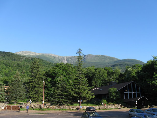


After getting our daughter packed up and headed off to the 100 Mile Wilderness with the AMC teen group we took a nice warmup hike - Liebskind's Loop which does a nice 3 mile loop from PNVC up the Old Jackson Road and across a couple of ledges with beautiful views up the notch and up Mt Washington. Friday night we drove down to Flatbread Pizza for the registration. Great pre-event event. Got to meet a few of the forum folks and some friends we'd met in the huts last summer. The first familiar face was Emma (who was waiting outside with Judy) - I'd know that one anywhere!

Saturday morning we decided to get an early start to beat the crowds. Got to Pinkham at around 6:00 and were on the trail at 6:30. The weather was perfect again - two days in a row! We had decided to go up Lion's Head and down Tuckerman's (unless someone convinced us otherwise). We headed up Tuckerman's trail and had it mostly to ourselves. Just before reaching the Lion's Head junction we took a break and while sitting there a group came by and said "hey, a flag - forum member?". It was Storygirl - the flag system was a great idea! At the junction of Lion's Head we ran into Brad, Charlie and Corey who were heading up the same way. We hiked part way up with them - great getting to hike with some of the folks from here.
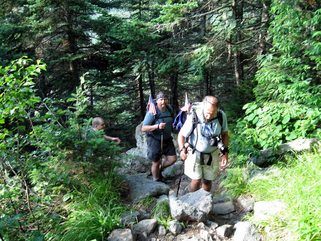

Going up Lion's Head was a good choice. The trail was awesome and the views even better. This was the view from the first lookout ledge we came to. 
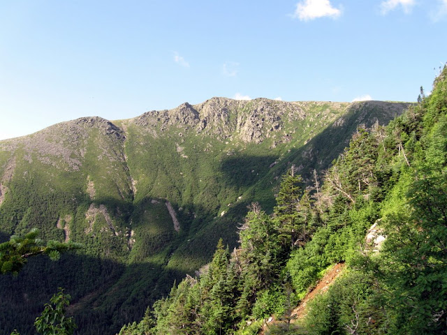

And next the views up to Lion's Head itself.
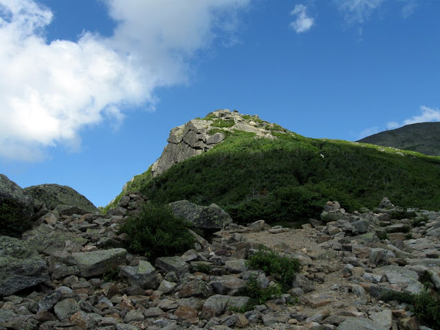

Rounding Lion's Head we got the first views of the summit across the Alpine Garden. Just beautiful!
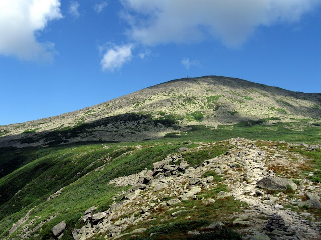

We enjoyed the walk through the end of the Alpine Garden and the scramble up the rocks of the summit cone. Caught up to a couple of other STPer forum members near the top.
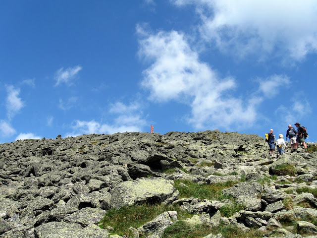

We skipped a summit photo since there was a long line (including those who drove up which should be illegal!).  Seeing the OBS in person for the first time was the biggest highlight of the day so far.
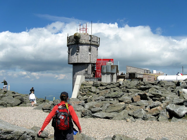

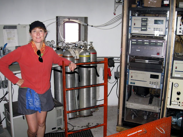
First thing we did was head in for the tour. The crew was great and showed us around everywhere. Was unfortunately so engrossed that I forgot to take pictures in most of the areas. Did get one of Nat in the gear room. Will have to take many more next year.

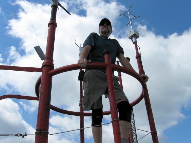
The high point of the day (literally and figuratively) was standing on top of the tower - on top of the world and head in the clouds!

Hung out on top for almost 2 hours checking out the OBS, the museum, the Tip-Top House and soaking in the views. Forgot to get out on the deck at the right time for a webcam shot. Another thing to plan better next year. Finished up our stay by tagging the summit now that the line was gone.
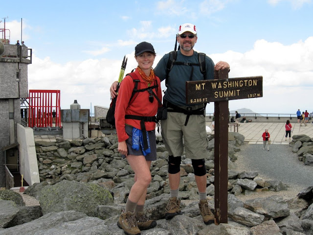

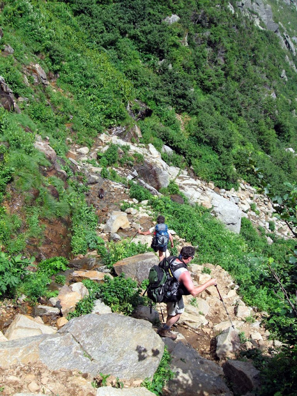
Started down at about 1:00 and kept our plan to go down the headwall. We had met some guys on the way up that said that they had done it the day before and that it was "steep, wet and scary" - great. 
It turned out to be steep and wet but not scary at all (even with acrophobia like mine). Near the top we met Kevin, Judy, Emma, Rockin' Rex and Madison who we hiked down with. I already said this in another post but need to repeat it here. This was definitely the highlight of the whole hike. I've never had so much fun getting my butt kicked by a small dog and an 8 year old boy. Emma and Madison - you're amazing!


You need to look ahead to see Emma - leading the way as always.

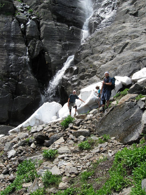
The snow arch may have collapsed a few days ago but it was still awesome getting to stand next to the remains (with Rex and Madison).

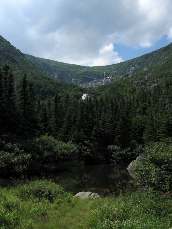
Got down to HoJo's at about 2:30 - obviously based on trying to keep up with Emma and Madison. One last look across Hermit Lake up to the headwall before we headed the rest of the way down. No more pictures after this point. I either got tired or just forgot.

The turkey dinner Saturday night was excellent. Good food, friends and fun. Didn't win any prizes in the drawings but it felt like we'd won the grand prize by just getting to participate in this great event. Met a bunch more forum folks and OBS staff at the dinner. The forum table was a really good idea, but next year we need to get even more of us together. We got Doug and Hunter - our friends from the huts last year - to join us for dinner. They are multi-time STPers and have been reading the forums (and hopefully have now been convinced to join in). Great seeing familiar faces again. 

We can't wait to get back to do STP again next year and our daughter has already informed us in no uncertain terms that she's coming with us next time. Just what I need - another person with young knees that I can't keep up with

This was actually our first hike up Mt Washington (we skirted the summit going across the Presidentials last summer). It couldn't possibly have been a better first experience. Now all we had to do was get to bed early so that we could get up at 5:00 the next morning to head to Franconia Ridge to start our next 4 days of hiking. But that's a story for another thread...

The complete photo gallery is here: http://picasaweb.google.com/mtruman42/SeekThePeak2008 

Friday, July 25, 2008

Liebskind's Loop

7/25/08
2.7 mi, 750', 2.5hrs
Mark and Nat

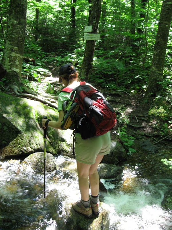
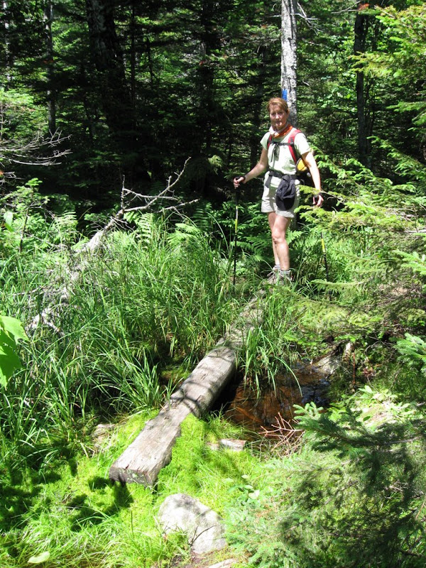
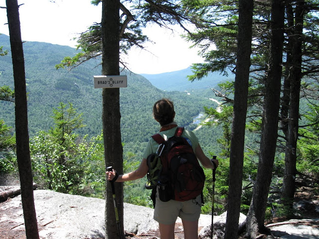
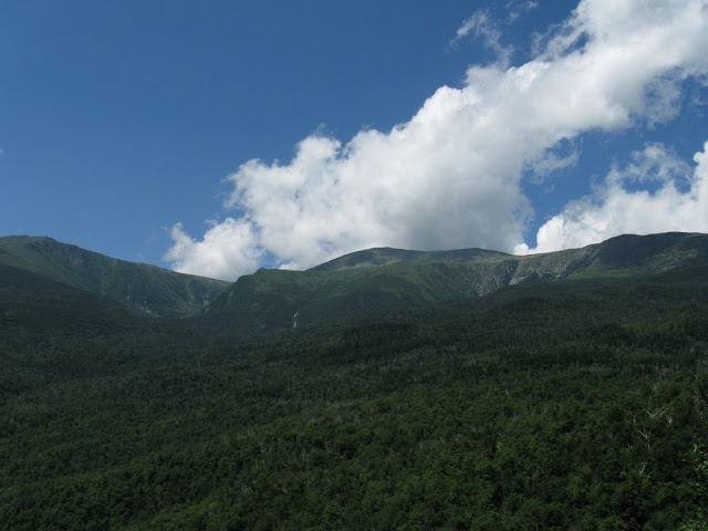
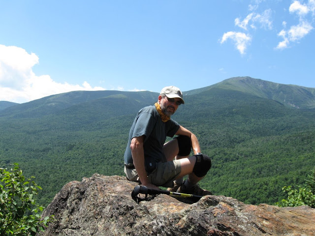
After torrential rain and thunder storms last night we came out on Friday morning to find a clear blue sky and a promise for a perfect day tomorrow for Seek the Peak. With half the day to kill after getting our daugher off to camp we decided to get in a warm up hike. Since we were at Joe Dodge Lodge there were many options without driving anywhere. We decided to try a new route which we hadn't heard of before seeing it in the "recommended hikes" section in the White Mountain Guide - Liebskind's Loop. It is basically a multi-trail loop that starts on the Old Jackson Road (same trailhead as Tuckerman's). After crossing the first brook on the OJR the loop then goes clockwise around Crew Cut Trail, Georges's Gorge Trail, Liebskind's Loop, Crew Cut Trail back to OJR. It is a well maintained path all the way with some beautiful streams and bogs and a nice climb through the woods to two small ledges (Brad's Bluff and Lila's Ledge) on the Liebskind's Loop trail. They provide beautiful views down Pinkham Notch, across Wildcat and up the ravines to Mt Washington. We didn't meet a single person on the trails and it appears that this is a well kept secret.


Cloudless morning over PNVC


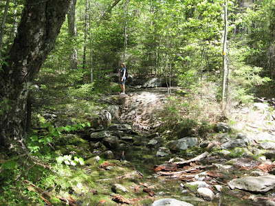
High brooks on OJR after much rain the last few days

Beautiful bogs

Views open up first at Brad's Bluff

Even better views from Lila's Ledge

Nice place to spend the morning

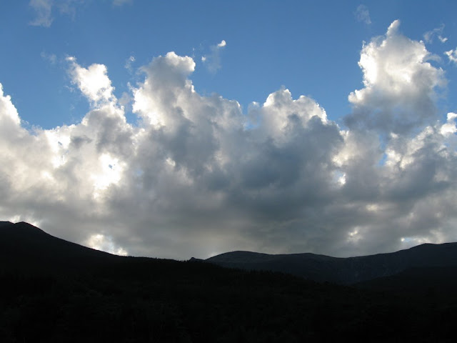
Later in the day the pre-sunset view over Mt Washington promises a beautiful day for Seek the Peak tomorrow.

Saturday, July 05, 2008

Camden Hills Hikes July '08

Trip report unintentionally left blank

Coming Soon

So many hikes, so little time...

Monday, May 26, 2008

Mt Monadnock on Memorial Day

Mt Monadnock - 3,165'
~5 miles, 1900' elevation gain, 4.5 hrs
Mark, Nat, Jamie

This was the 4th time up Monadnock in the last 2 years and it is still my favorite hike outside of the White Mountains or Acadia. First couple of times were plagued by the constant crowds that are unavoidable on the White Dot / White Cross trail combination that almost everyone seems to take. Since this is "the most hiked mountain in the world" that adds up to a steady stream. Last fall we tried a new route up - the Spellman trail via the Cascade link and it was like having the mountain to ourselves (until the summit which was still packed and the White Cross which we still took down). This time we opted for a less traveled route in both directions and it paid off. The day was a perfect weather day and Memorial Day to boot so we planned on maximum crowds. Maybe it was the gas prices but the lots weren't overflowing like expected. We took the same route up - White Dot, Cascade Link, Spellman, Pummely. We really love this route. The Cascade Link is a nice moderate grade through beautiful evergreen and hardwood forrest following a stream about 1/2 the way.


The Spellman trail bears off the Cascade Link and the steep climb begins. This is rated as the toughest trail on Mondanock and has warnings about the exposure. The steepness claims are true but even with my extreme acrophobia I don't have any problems. I wouldn't want to take it down though. We met a couple of guys that were going down and didn't know anything about the trail. They were clearly a bit shaken and said that they couldn't believe that the this was actually a trail when they got to the "brink of the cliff at the top" as they described it. Probably an extreme description...


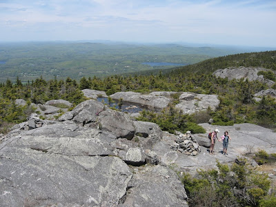
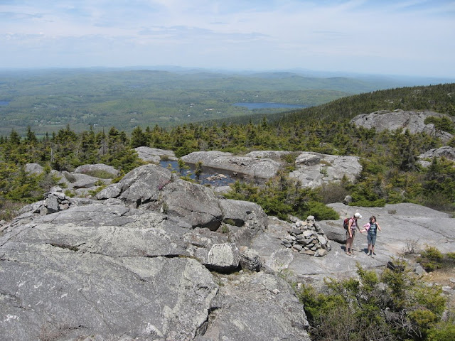
We met only 3 groups the whole way up till just before the summit. The day was pretty warm but by the time we hit the Pummely the wind was blowing at probably close to 50mph and there was no problem staying cool. The walk up the Pummely ridge to the summit reminds me of my favorite routes in Acadia (except no ocean in the background).


A bit of a surprise that we found so few people at the top. Didn't hang around anyway - swung over the top and found a nice nook on the beginning of the White Arrow for a break. The wind was really blowing on this side and we got tossed around quite a bit. The new route that we picked to go down was rated as one of the least used and it turned out to meet that standard - we only passed a single group the whole way down and didn't even hear anyone else. Like having the place to ourselves. We started down the White Arrow and then took the Amphitheter, Side Foot, Cliff Walk and Lost Farm trails. This route loops over Bald Rock which is a minor summit below Monadnock.


It was a beautiful way down with the upper portion alternating between open ridges and wooded rocky sections. After hitting the Cliff Walk most of the remainder is in the woods with views between the trees. The Lost Farm is a particularly beautiful section with easy grades and lots of beautiful plants and wildflowers.


As much as I love the open ledges on Monadnock this was one of the nicest parts of the hike. There are many other options for the way down with minor trails branching off of the White Arrow (descriptions here). We'll be trying the others on our next visits...

Complete photo album is here:
Monadnock 5-26-08

"Spring Training" hikes - Blue Hills and Monadnock - 5/24, 5/26/08

We took advantage of the beautiful weather this weekend and got in a couple of spring training hikes. Did about a 9 miler in Blue Hills Reservation (south of Boston) on Saturday. Nothing worth taking pictures of but a very nice day and a good workout. For anyone in the Boston area this is a great location to get some good mileage with lots of ups and downs. We did the Skyline trail and both the red and green loops on the east side of the reservation which give somewhere around 2000' of cumulative elevation gain over the 8-9 miles - much of it up and down fairly steep rock. Fun hiking (but not NH). After a rest by the pool on Sunday we decided to brave the crowds and headed up to Mt Monadnock on Monday. Not only was the weather great but the gas prices must have kept a lot of folks at home. Here's the full trip report:

Mt Monadnock - 3,165'
~5 miles, 1900' elevation gain, 4.5 hrs
Mark, Nat, Jamie

This was the 4th time up Monadnock in the last 2 years and it is still my favorite hike outside of the White Mountains or Acadia. First couple of times were plagued by the constant crowds that are unavoidable on the White Dot / White Cross trail combination that almost everyone seems to take. Since this is "the most hiked mountain in the world" that adds up to a steady stream. Last fall we tried a new route up - the Spellman trail via the Cascade link and it was like having the mountain to ourselves (until the summit which was still packed and the White Cross which we still took down). This time we opted for a less traveled route in both directions and it paid off. The day was a perfect weather day and Memorial Day to boot so we planned on maximum crowds. Maybe it was the gas prices but the lots weren't overflowing like expected. We took the same route up - White Dot, Cascade Link, Spellman, Pummely. We really love this route. The Cascade Link is a nice moderate grade through beautiful evergreen and hardwood forrest following a stream about 1/2 the way.


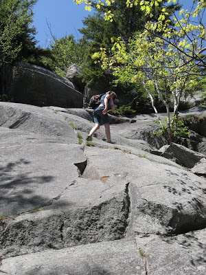
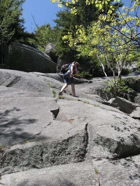
The Spellman trail bears off the Cascade Link and the steep climb begins. This is rated as the toughest trail on Mondanock and has warnings about the exposure. The steepness claims are true but even with my extreme acrophobia I don't have any problems. I wouldn't want to take it down though. We met a couple of guys that were going down and didn't know anything about the trail. They were clearly a bit shaken and said that they couldn't believe that the this was actually a trail when they got to the "brink of the cliff at the top" as they described it. Probably an extreme description... This is one of the more moderate parts:


We met only 3 groups the whole way up till just before the summit. The day was pretty warm but by the time we hit the Pummely the wind was blowing at probably close to 50mph and there was no problem staying cool. The walk up the Pummely ridge to the summit reminds me of my favorite routes in Acadia (except no ocean in the background).


A bit of a surprise that we found so few people at the top. Didn't hang around anyway - swung over the top and found a nice nook on the beginning of the White Arrow for a break. The wind was really blowing on this side and we got tossed around quite a bit. The new route that we picked to go down was rated as one of the least used and it turned out to meet that standard - we only passed a single group the whole way down and didn't even hear anyone else. Like having the place to ourselves. We started down the White Arrow and then took the Amphitheter, Side Foot, Cliff Walk and Lost Farm trails. This route loops over Bald Rock which is a minor summit below Monadnock.


It was a beautiful way down with the upper portion alternating between open ridges and wooded rocky sections. After hitting the Cliff Walk most of the remainder is in the woods with views between the trees. The Lost Farm is a particularly beautiful section with easy grades and lots of beautiful plants and wildflowers.


As much as I love the open ledges on Monadnock this was one of the nicest parts of the hike. There are many other options for the way down with minor trails branching off of the White Arrow (descriptions here). We'll be trying the others on our next visits...

Complete photo album is here: http://picasaweb.google.com/mtruman42/Monadnock52608

Now we're really ready to get back to the Whites. Hoping to get a weekend in June and hike out to Tucks and catch a view of the end of the spring ski season...

Tuesday, February 19, 2008

Lonesome Lake 2-19-08

Lonesome Lake - 2,740'
3.2 miles, 950' elevation gain, 3 hrs
Mark, Nat, Jamie

Did this hike on a hot August day in 2006 and really enjoyed it. It's a short hike with good trails and moderate elevation. The views from the top of Cannon to the north and Franconia Ridge across the lake to the west are beautiful on a clear day. The sky was clear and blue when we were driving over from Crawford Notch but by the time we got to the trail head the clouds had moved in.


After the rain yesterday we were concerned that the trails might be in bad shape. Fortunately it got cold overnight and the trails were in perfect shape today. Lonesome Lake trail gets lots of use and was well broken. Could easily have bare booted but showshoes were still a good way to go.


Got to the lake quickly and headed around to the hut. Passed the AMC group that was heading to the hut to spend the night near the top. They met us at the hut and we had lunch together. As we went around the lake it started to snow pretty hard. It was really a nice addition to the hike. Nat and Jamie are obviously enjoying it.


We were the first ones at the hut for the day and had it to ourselves for a while before the AMC group arrived. It was surprisingly comfortable in there without heat and I wish we could have hung out for a while.

We ate lunch with the group before heading down.


We were looking forward to the walk through the bogs around the back of the lake but the caretaker said that the rain had probably made the trail pretty difficult back there. The bog bridges were apparently already tricky before the rain and we decided to just go back the way we came. This was sadly our last hike for the week but Nat and I had both pretty well wrecked our knees by this time so it was probably just as well.

Enjoyed the views to Franconia Ridge on the way down and the thoughts of being up there next summer.


Complete online photo album is here:
Lonesome Lake - 2-19-08


Sunday, February 17, 2008

Triple Cheat Day

I generally feel like I've cheated when I do an easy hike to someplace really spectacular. It should take more work to earn the reward. Today I did three of these hikes - a triple cheat. I have to admit that putting the three together into a long (and very enjoyable) day makes me feel like I cheated at least a bit less overall.

Today was our second day at Highland Center and Nat and Jamie went skiing because the forecast for tomorrow is rain. I didn't want to do a long winter hike alone so put together these three instead.

Started the morning with my regular pilgrimage to Red Bench. This spot seems to be a well kept secret and I hate to advertise it for fear of losing my solitude. The Red Bench Overlook is at the end of a spur path off the Around Ammonoosuc Lake trail behind Highland Center. It's about a 2 mile total loop that's almost completely flat so it's really more a walk in the woods than a hike. I had been to the Red Bench several times in previous stays before I realized what is special about it. On a clear day there is an absolutely spectacular view of almost the entire Presidential Range. The view spreads from Adams to Pierce with Mt Washington taking center stage. Once I realized this I began my morning ritual of going to Red Bench just after sunrise whenever we are at Highland Center. On the mornings that the summits happen to be in the clear the views of Mt Washington at first light are amazing. Today it was in the clouds and I waited for about 30 minutes but it just kept taunting me.


Later in the week I got the real reward with amazing views of the light playing on the top as it drifted in and out of the clouds


More views in my online Mt Washington album here:
Mt Washington

For cheat #2 I joined the group from Highland Center on a Bretton Woods Alpine Eco Tour. This is a snowshoe hike across the ridge at Bretton Woods ski area accessed via the lift (the cheat). We did this last year and it is really an awesome hike. For $7 you can get a lift ticket for snowshoers which takes you to the top on the Bethlehem Express lift (ends at Top 'O Quad) to access the trails. There are a set of dedicated snowshoe trails in the woods along the ridge line that are off limits to skiers. Today the trails were unbroken powder and the trees were coated with snow - a real winter wonderland


When crossing the ski slopes between the sections of woods the views to the Presidentials are gorgeous. The clouds had moved away since I left Red Bench this morning and the summits were now all in the clear.


At the northern end of the hike the trail leads over the back of the ridge line and leaves a sweeping view of the Pemi wilderness.


Overall hike was about 2 hours and a great way to spend the morning.
The rest of the photo album for this trip is here:
Bretton Woods Alpine Eco Tour - 2-17-08

Wanted to get in one more hike in the afternoon to beat the rain tomorrow. The clouds had already moved in and the temps were warming up. Decided to do Mt Willard as the third cheat of the day. We've done this hike several times before in both summer and winter. It has to be the best views you can get in the Whites for this little effort. The trail was well broken as expected and could easily have been bare booted but I kept the snowshoes on anyway as I find the downhills easier with them (and my bad knees).

There were a couple of people on the trail ahead of me that I passed just before the top and one person already out on the ledges with his dog. The clouds turned out to provide some interesting contrast and the lack of blue sky no longer seemed a negative.


I hung out and chatted for about 1/2 hour on the top and was still back at Highland Center in 2 hours. 90 minutes up and back on this hike is actually a pretty good workout - particularly on showshoes.

The rest of the Mt Willard photo album is here:
Mt Willard - 2-17-08


One last shot for the day of Crawford Depot wearing its winter clothes. Then back to sit by the fire with a beer and wrap up the triple cheat in style. Two wrongs might not make a right but three cheats add up to a good day...